- Suresh Kumar
- 12-09-2025
- 0 Comments
Andaman and Nicobar Map: A Complete Guide for First-Time Travelers
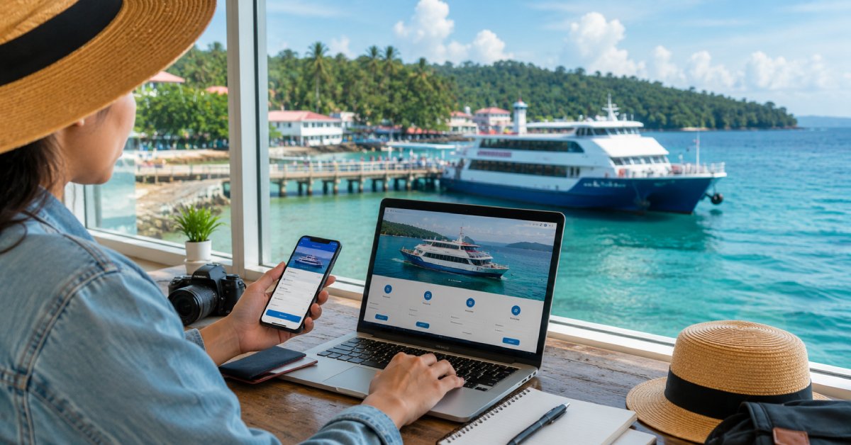
When you plan your first trip to the islands you may feel a little confused. The Andaman and Nicobar Islands are far from mainland India. Many people want to know where these islands are and how they can explore them. An andaman and nicobar map is the best tool to make things clear. It shows the places, the distance, the beaches, and the small islands around. In this article we will tell you everything about the andaman and nicobar map so that first time travelers can plan without worry. We will also see how Go Andaman Holidays, the best travel agent in Andaman, can help you.
Where Are the Andaman and Nicobar Islands?
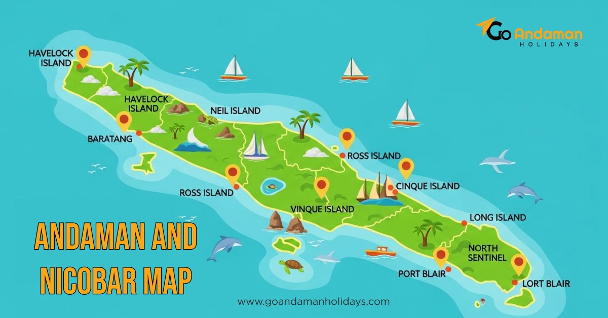
- The Andaman and Nicobar Islands are part of India but they are not close to the mainland. If you see the andaman and nicobar islands in India map, you will see that they are in the Bay of Bengal. They are closer to Myanmar and Thailand than to Kolkata or Chennai. There are more than 500 islands but only a few are open for tourists.
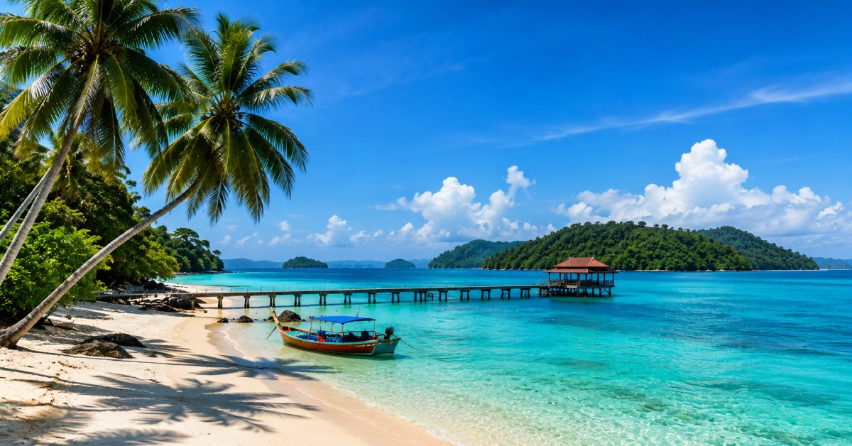
- On an andaman and nicobar islands map you will see two main groups. The top part is the Andaman Islands and the bottom part is the Nicobar Islands. Most tourists visit only the Andaman group because the Nicobar side is restricted. Popular islands you will see on the Andaman and Nicobar in India map are Havelock Island, Neil Island, Baratang, and North Bay. The map helps you see how far each place is from Port Blair which is the capital city.
Why a Map is Important for Travelers
- When you look at the andaman and nicobar map, you understand the layout of the islands. Many first time travelers think the islands are very close to each other. But the truth is different. Some islands take one or two hours by ferry. Some need road and boat travel mixed.
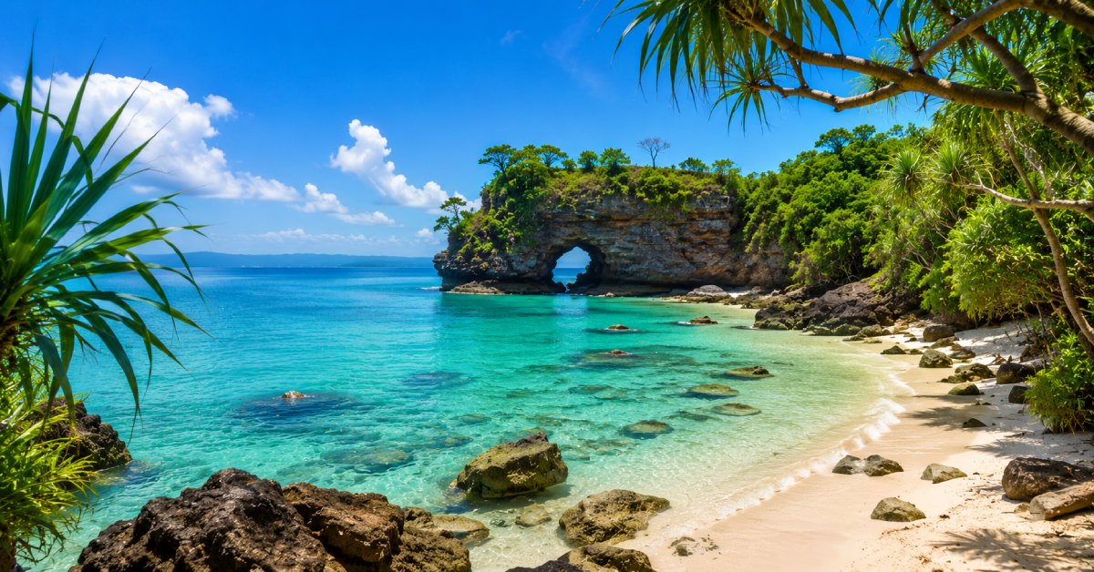
- A map also shows where the beaches are and where the forests are. For example Havelock Island is shown on the right side of the map and is famous for Radhanagar Beach. Neil Island is smaller and shown near Havelock. Baratang is shown on the way from Port Blair by road. Without the map it is hard to imagine these routes.
- The map is also useful when you want to plan water sports. You can see where scuba diving or snorkeling is possible. The map gives you a big picture before you start your trip.
Climate of Andaman and Nicobar Islands
- The climate of Andaman and Nicobar Islands is another thing that travelers must know. The map does not show climate but when you plan with a map you must also see the weather. The islands have tropical weather. This means it is warm and humid most of the time. The best time to travel is between October and May.
- If you travel in the rainy season from June to September, ferries may get canceled because of high waves. The map helps you see how travel routes may get affected in rain. So always check both the andaman and nicobar map and the weather before booking.
Festivals and Map
One special thing about the islands is the mix of cultures. You may see this in festivals. Some people even search for Ganesh Chaturthi in Andaman map to see how celebrations spread across the city of Port Blair. During Ganesh Chaturthi you can find small pandals in many areas. The map can show you which places are busy and where traffic is heavy. If you are traveling at festival time it is good to know the routes.
How to Use the Map for Planning
- The andaman and nicobar map is best used step by step. First, mark Port Blair which is your entry point. From there you can trace the ferry route to Havelock Island and Neil Island. You can also trace the road to Baratang and Mayabunder.
- Next, decide how many days you have. If you have four to five days you can only see Port Blair, Havelock, and Neil. If you have more than a week you can add Baratang or Diglipur. The map shows the distance so you can plan travel time.
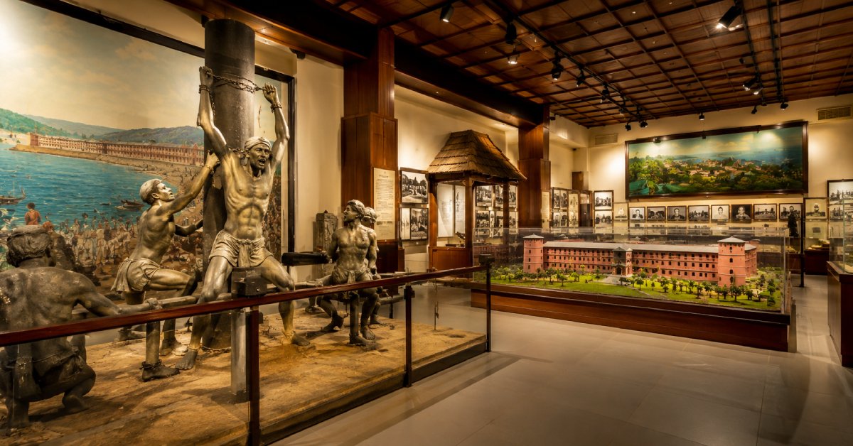
- When you plan water sports, use the map to mark beaches. Havelock is for scuba diving. North Bay is for snorkeling. Port Blair is for light and sound show at Cellular Jail. The map connects all these points for you.
Help from Travel Agents
- Maps are useful but they cannot solve all problems. A travel agent in Andaman like Go Andaman Holidays makes things simple. They already know the routes, ferry timing, and cab service. When you book with them, they use the Andaman and Nicobar Islands map to design the best route for you.
- For example if you want to visit Havelock, they will book ferry tickets for you and tell you which jetty is shown on the map. If you want to see Baratang, they will arrange road and boat travel as per the route shown on the map.
Cabs in Andaman
When you move inside Port Blair or to nearby points, you will also need cabs. The map shows the roads and with cabs in Andaman you can move without worry. If you try to plan without a map you may get confused about distances. For example Wandoor Beach is not very close to Port Blair but looks near on the map. With the right cab and map support from Go Andaman Holidays you can reach easily.
Role of Go Andaman Holidays
- Go Andaman Holidays is not just any travel company. They are known as the best travel agent in Andaman. They always use the andaman and nicobar map to plan the best trip for you. They help you understand which places are close, how many hours each trip takes, and which route is safe.
- If you are a first time traveler you may not know how to read the ferry routes or road routes on the map. But the team of Go Andaman Holidays does this work for you. They can explain the Andaman and Nicobar islands in India in simple terms and show you where your hotel, ferry, and cabs will connect.
- They also guide you about weather, festival time, and best days to travel. So when you mix the map with their support your journey becomes smooth.
FAQs
Q1. Do I need a map if I book with a travel agent?
Yes. A map helps you understand where you are going, but if you book with Go Andaman Holidays they will also explain the map and plan your trip for you.
Q2. Can I visit both Andaman and Nicobar groups?
No. The Nicobar group is restricted for tourists. You can only visit the Andaman group of islands which includes Port Blair, Havelock, Neil, Baratang, and some others.
Q3. Can I get cabs in Andaman using the map?
Yes. You can use the map to check road distance and then book cabs in Andaman through Go Andaman Holidays for smooth travel.
Q4. Does climate matter when reading the map?
Yes because even if the map shows the route, heavy rain may cancel ferries or delay cabs. Always check the climate of Andaman and Nicobar Islands when planning.
Q5. Is the map useful for festivals?
Yes. During events like Ganesh Chaturthi in Andaman map, you can see which areas may be crowded and where to avoid heavy traffic.
Conclusion
The andaman and nicobar map is like your first friend when you travel to the islands. It shows you where you are going, how far the islands are, and what to expect. For first time travelers the map makes the trip clear and simple. It also connects with weather, culture, and local travel.
But the map alone is not enough. You need help from experts who know the routes in real life. This is where Go Andaman Holidays plays a big role. They are the best travel agent in Andaman and they use the map every day to plan trips for visitors. They also give you cabs, ferry booking, and festival advice.
So if you are planning your first trip to the islands, do not just see the andaman and nicobar map on your own. Take support from Go Andaman Holidays and enjoy your travel without stress. The map will guide your eyes, and the travel agent will guide your journey.